
From charcoal lines on animal hide to complex code in a Silicon Valley server, maps have played a formidable role in world politics and conflict. Millions have been killed over small tracts of land disputed by political elites, a status quo that shows no signs of changing. Geopolitical conflicts rage across the globe despite the end of the Cold War — an event that was supposed to usher in an era of peace and “modern values.” Instead, a new wave of nationalism, radicalism and persecution was begotten. Amidst violence and chaos, one company continues to attempt to assuage all sides.
Sworn to do no evil, Google believes it must appease as many forces as it can to maintain both its legal standing and its reputation. As recently as 2010, wars have nearly broken out as a direct result of Google’s cartography. One such example is a dispute between Costa Rica and Nicaragua over Nicaraguan military activities. The Nicaraguan commander consulted Google Maps, which displayed the borders resulting from an earlier disputed treaty and in the process went against the contemporary norm and crossed into territory controlled by Costa Rica, prompting harsh reactions and credible threats of military conflict.
Similarly, on the boundaries of Spain and Morocco a conflict brought the two countries to the brink of major conflict over Isla Perejil. These few rocks are located near the Spanish territory of Ceuta, whose ownership is also heavily contested by Morocco. Intense debate over Google Maps’ representation of the islands continues on after this conflict, as Google Maps eventually decided not to list any national affiliation for the rocks after the United States brokered peace talks. No affiliated nation is shown on any of the servers.
A handful of recent, infamous conflicts have led Google to create a series of different maps on Google platforms in disputing nations. The clearest example is the ongoing crisis in Ukraine. For Western domains, the Crimean peninsula has gone from belonging to Ukraine to being demarcated with the dashed line that denotes a territorial dispute. Such recognition should not seem controversial, as Crimea is a disputed area claimed by two nations. De facto control has shifted from Ukraine to Russia. If one were to go on the Google.ru maps, one would see that there is no specially marked zone in Crimea—the peninsula is shown to be under full, de jure control of the Russian Federation, with a border dividing it from the Ukrainian mainland.
Blatant differences in cartographic representations are also evident in Google’s maps of South Asian borders. Pakistan, not having an updated Google Maps as of yet, follows the Western view of territorial divisions in the area. On these servers, the Jammu and Kashmir region as well as disputed territories between China and India in the northwest of India are shown as snaked and fissured with the dashed line representing these conflicts—here much more complicated than elsewhere. On Indian servers, Google Maps quite controversially shows all disputed territory as belonging to India. The Arunachal Pradesh region on the northeast Indian border with China is also heavily disputed and shows a similar disparity in its portrayal in Western/Chinese Maps versus contemporary Indian Maps. A few years ago there was a major controversy in Google’s naming of sites in the region, with Google displaying the names with Chinese characters. After an outcry they reversed this decision.
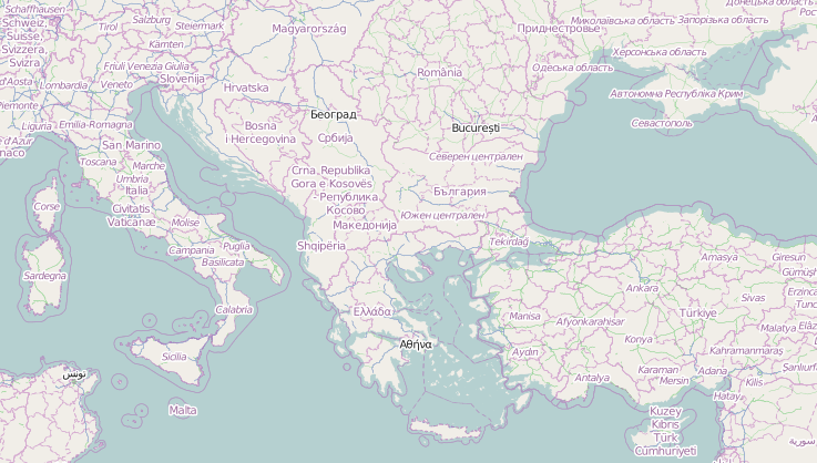
Indeed, a major source of conflict is the naming of disputed territories itself. The Falklands/Malvinas are implied by Google as belonging to Great Britain, even though they are contested heavily in Latin America as Argentinian. The maps display the name of the islands as “Falkland Islands (Islas Malvinas).” There is no disparity across servers—even on British servers the alternative, Argentinian nomenclature is recognized in the form of the parenthetical note. A second naming conflict has arisen in the Persian Gulf, which Google also calls the Arabian Gulf. This parenthetical addendum is meant to appease Saudi Arabia and the Gulf States. This has caused quite a controversy in Iran, with the government recently threatening lawsuits in 2012 due to the name change.
There is no such parenthetical alternative nor consensus in the contemporaneous series of island disputes in the East China Sea and Sea of Japan (whose own names are disputed in public discourse). In the little discussed Korean-Japanese island conflict over the Liancourt Rocks (known as Dokdo on Korean and Takeshima on Japanese servers), Google draws a line to mark South Korean ownership on all servers. In the case of the Senkaku/Diaoyu dispute, Google Maps designates the islands as Japanese and follows the Japanese naming system on Japanese servers. On Western servers, however, Google once more takes a neutral stance, designating the islands as disputed and naming them (sans parenthetical notes) by the Japanese, Chinese, and Taiwanese names consecutively. In the past, the Japanese government has raised an outcry over names not reflecting the Japanese heritage on Google Maps, which might be why Google takes special care to designate them as such.
There are some places, however, that remain consistent among Google users despite territorial debate. Some might say this is due to a lack of internet or Google use in those regions, but there has been no official statement offered by Google on the topic of traffic-based discrimination. Russian Google Maps users will notice that Google does not recognize Abkhazia and South Ossetia as independent states, disregarding the war fought in northwest Georgia in support of local independence movements. Rather, they are simply shown to be contested border areas on all Google servers. What may seem even more controversial is that Google refuses to recognize Israeli settlements in the West Bank, reaffirming Israel’s 1967 border, even on Israeli Google Maps. Other separatist movements (such as the Transnistria Independence Movement in Moldova) are not mentioned on any maps, despite limited international support for their independence.
While simplifying the lives of many, Google Maps also falls into a trap of conformity that does little to promulgate peace. One of the most powerful tools on the Internet, if not in the entire world, Google has both the medium for and the authority to help solidify borders and spread consensus. When different nations see different maps, Google fails to teach people in different nations about the contested sovereignty of disputed areas. For example, if someone in India were to go on Google Maps and see Kashmir belonging solely to India, they would not be made aware of the highly emotional territorial contestations in the region. By attempting to placate all sides, Google may not be doing evil, but is doing no good.